Remote ID Receiver
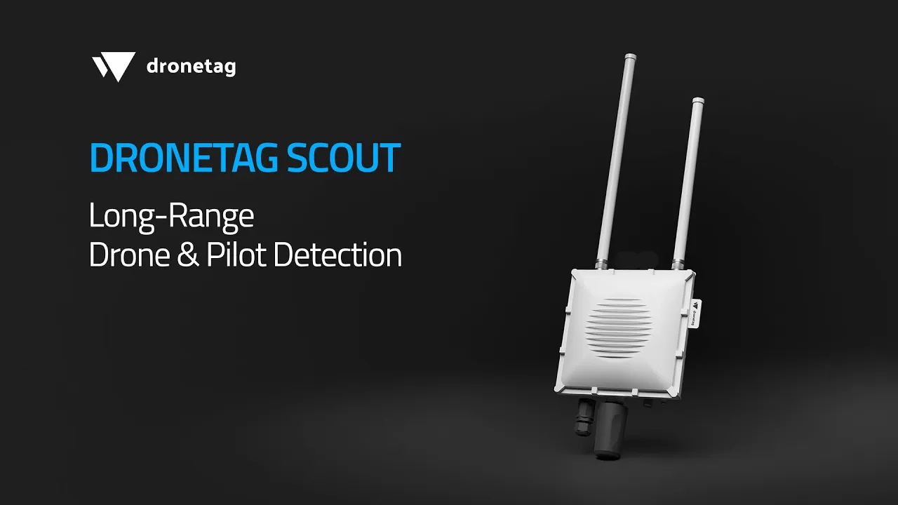
Dronetag Scout

Plug & Play Long-Range
Drone Detection

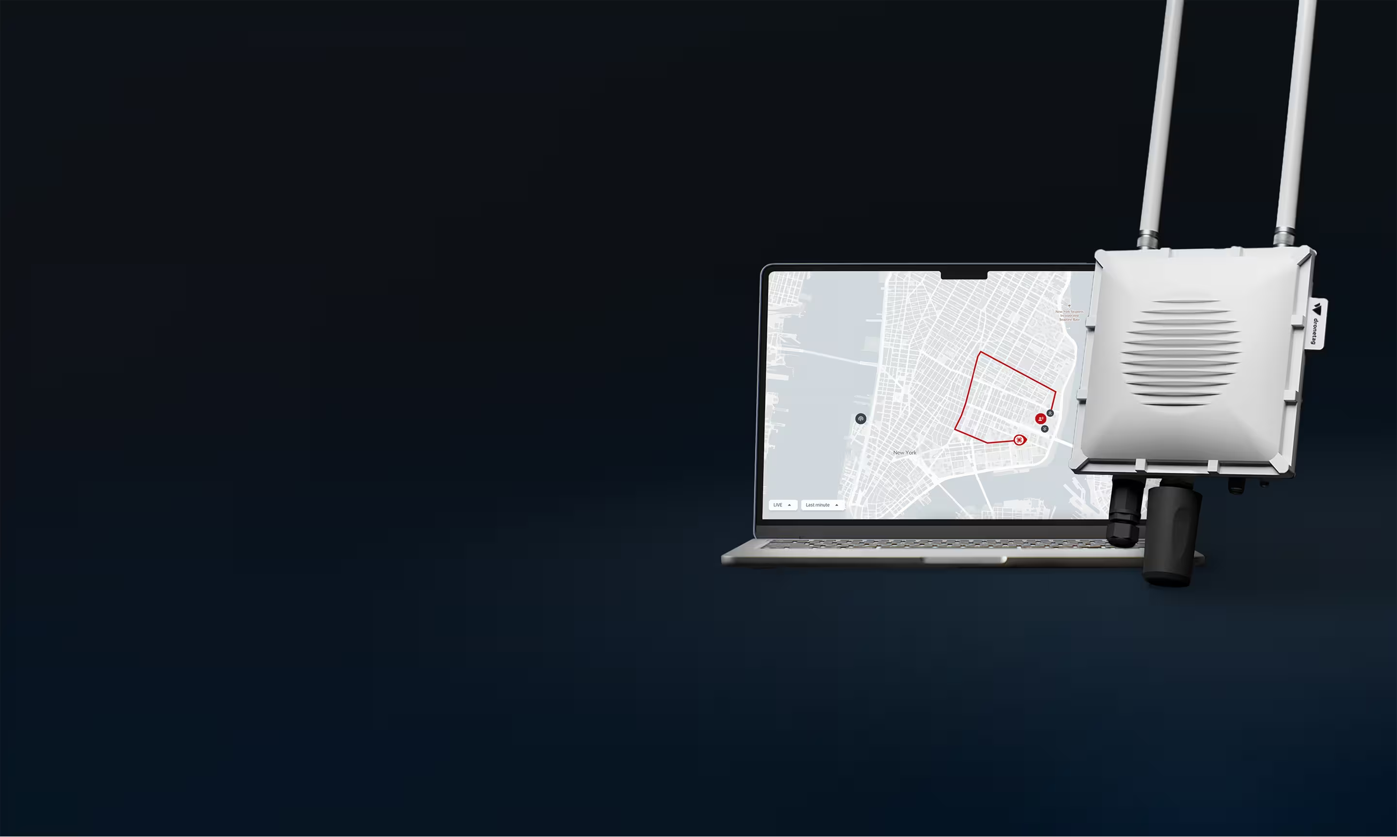
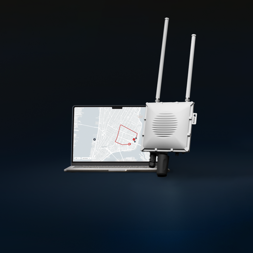
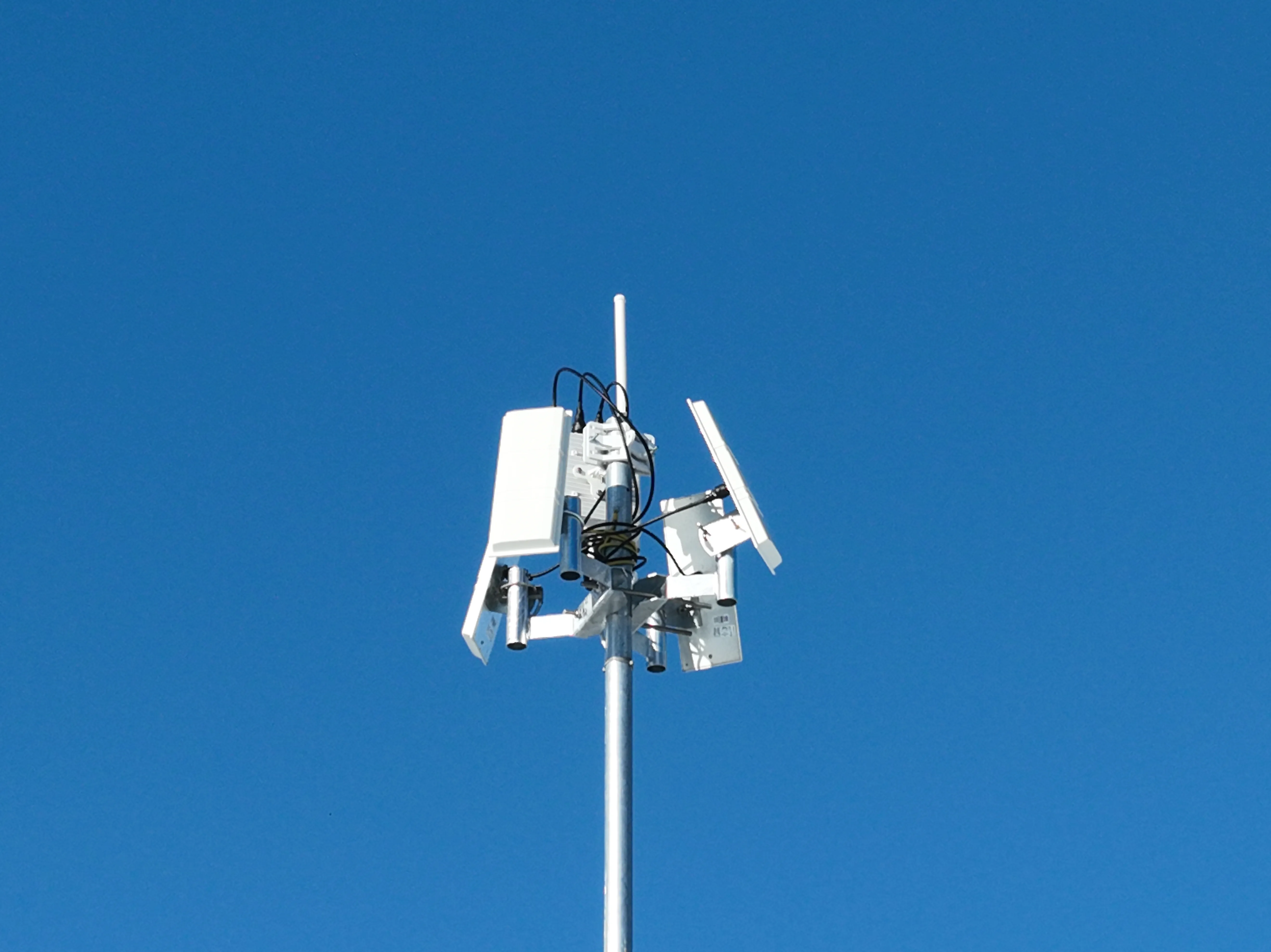
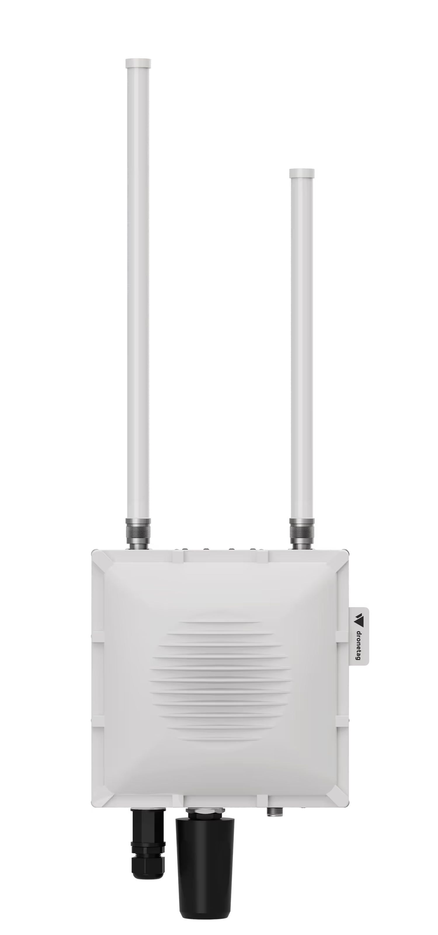
Dronetag Scout Gen 2 is the ultimate commercial drone detector. Any drone broadcasting Remote ID appears on your map within seconds. One click opens its pilot's position in Google Maps.
From €3,099 / $3,499
Buy now
Superb Dual-Band Range
The only receiver on the market covering 5 GHz band on directional antenna.
Drone Agnostic
Detects all Remote ID-compliant drones, including DJI, Autel and Skydio, up to 25 km (15 mi) on sector antennas.
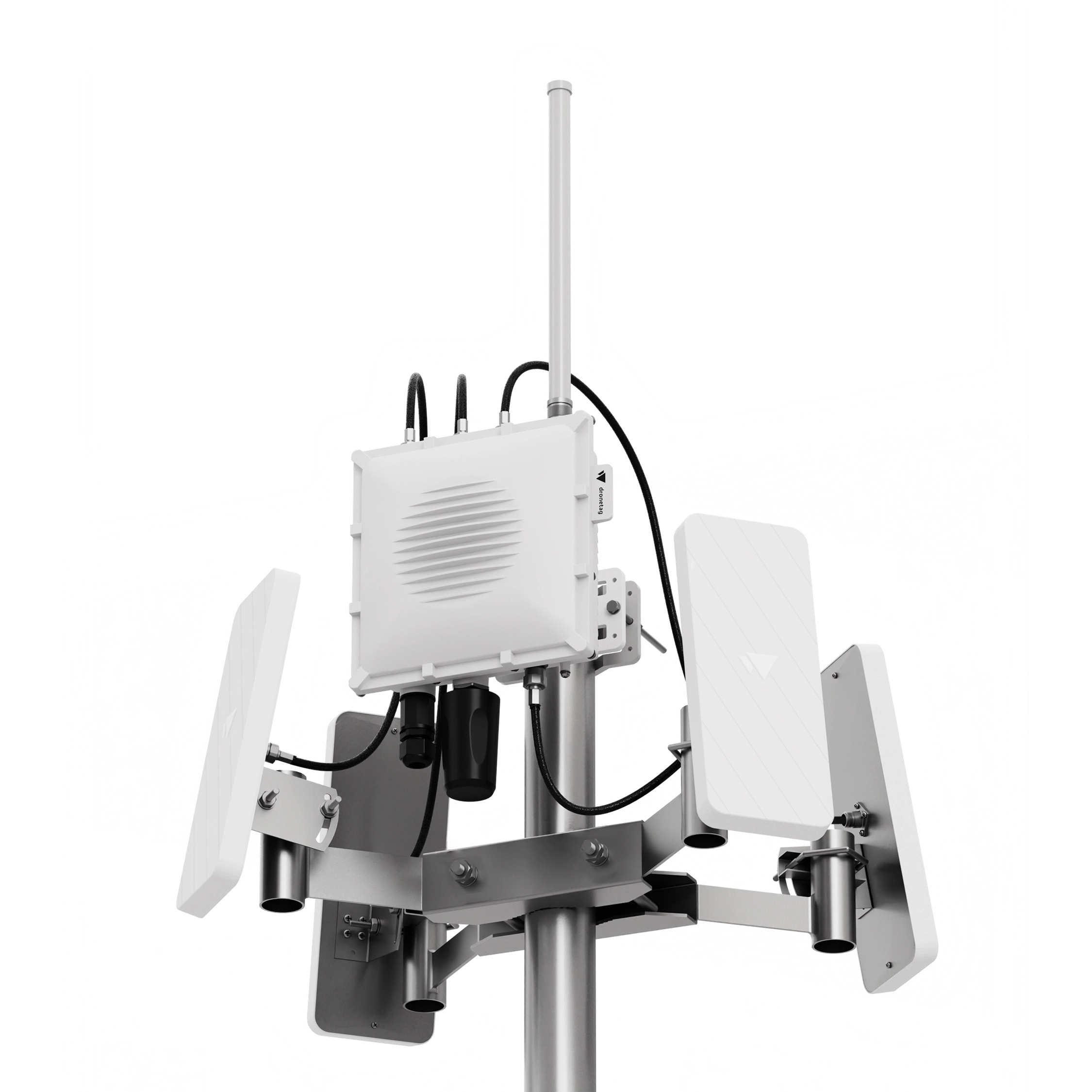
Modular Antenna Setup
Baseline or High Performance, with aviation add-on when manned traffic matters too.
LTE Included
Standard in every build, FirstNet compatible in the US version.
Multi-Platform App
Real-time and historical data on iOS, Android and web, or integrated into any third-party system like TAK.

High-Performance
‍24/7 Airspace Monitoring

Most commercial drones broadcast their position, serial number and pilot location continuously in flight. Dronetag Scout turns every broadcast within 25 km (15 mi) into a live airspace map, with a level of detail no other technology can match, at a fraction of the cost. Built for public safety teams and critical infrastructure operators, it is quick to deploy, intuitive to operate and easy to integrate into TAK or any other third-party system. With no active emissions, a rugged enclosure and a single PoE connector, it runs 24/7 anywhere, from a single site to a nationwide network.
Deploy
Scout
Detect
Drones
Locate
the Pilot
Mitigate
Threat
Scout takes less than 15 minutes to deploy.

Reliable Operation
in Any Environment
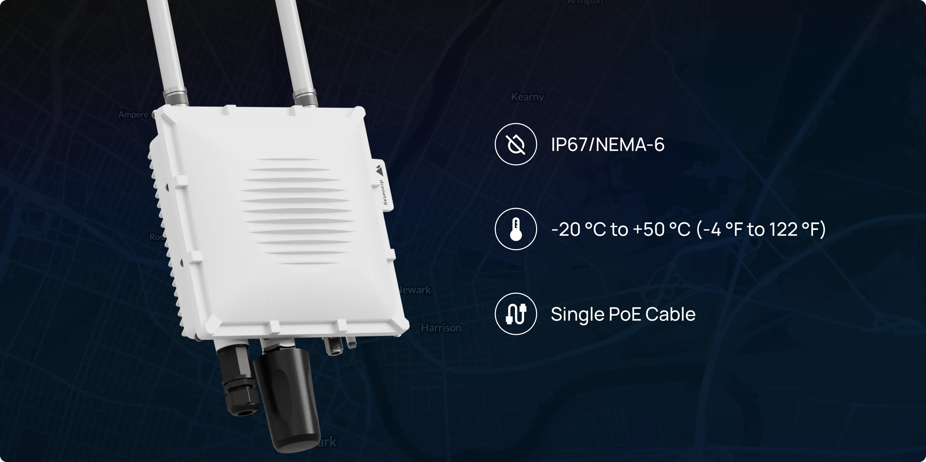
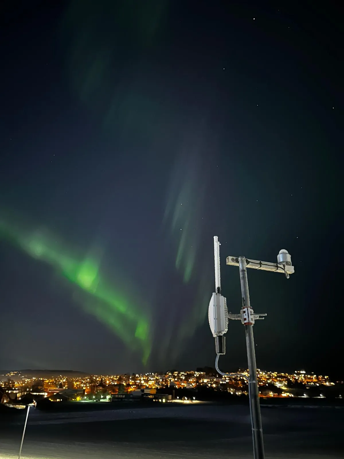
Scout is engineered for performance in demanding conditions, with its robust IP67-rated enclosure providing complete protection against dust, water, and extreme temperatures. For stable functionality across diverse climates, the device includes built-in heating and passive cooling systems, allowing it to operate consistently even in challenging industrial settings and varied weather.

Flexible
Operating Modes

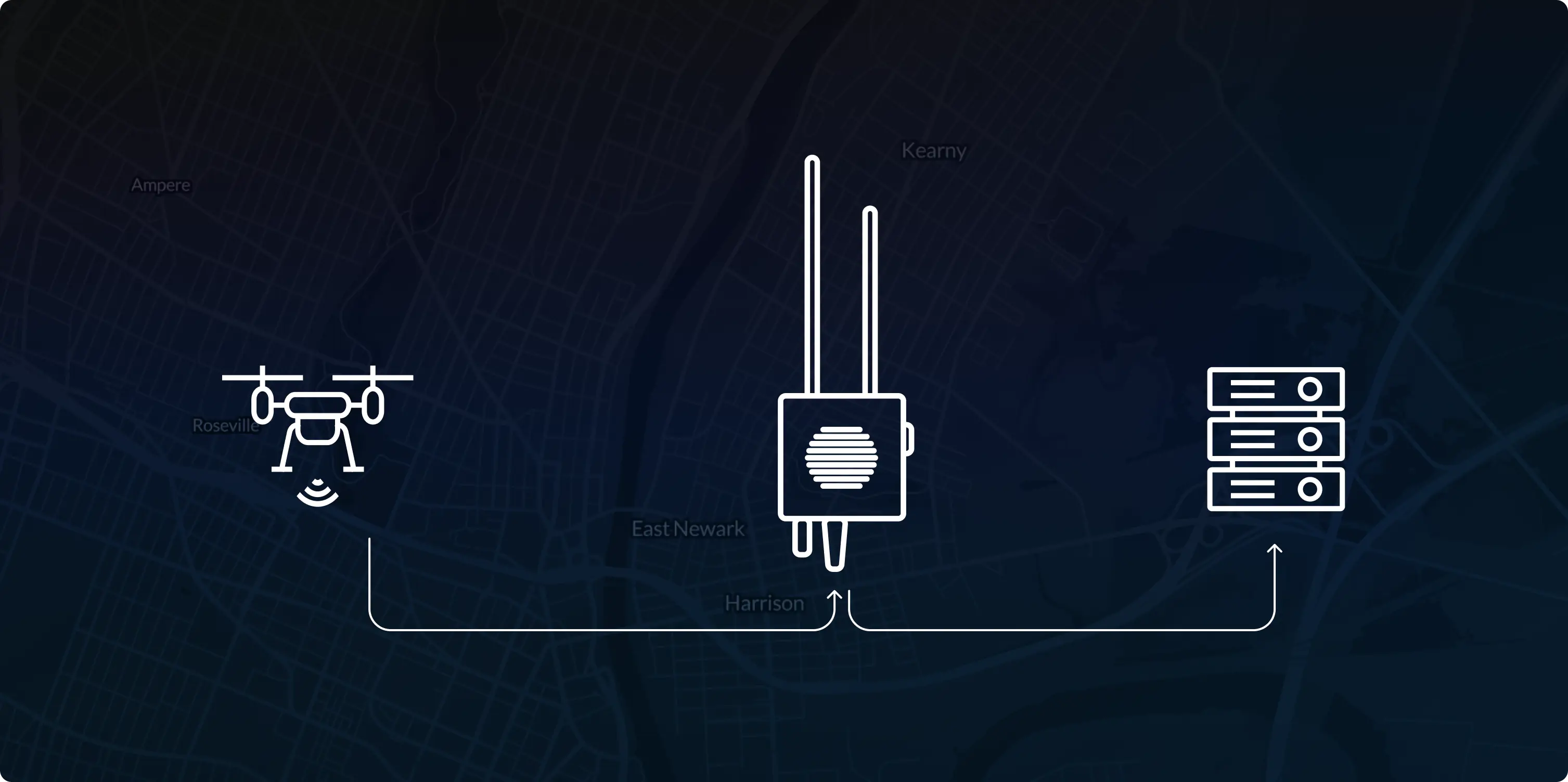
Dronetag Scout is a receiver that detects and identifies Remote ID-equipped drones. Flexible deployment options range from plug-and-play online setups to fully offline, locally hosted systems, with operating modes tailored to different connectivity and integration needs.

Expanding
Beyond Remote ID

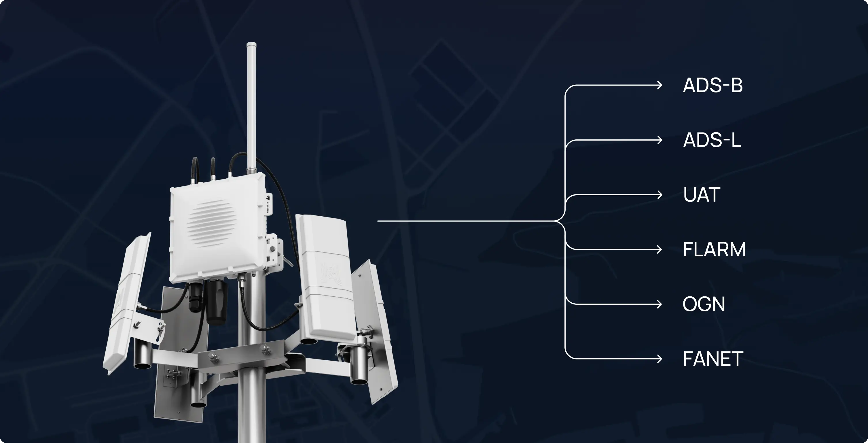
Scout Aviation configuration expands detection beyond Remote ID by adding support for aviation protocols including ADS-B, ADS-L, UAT, FLARM, OGN, and FANET. This brings detections of cooperative manned aviation traffic alongside drones into the same operational view, providing a clearer picture of low-altitude airspace.

Dronetag Scout
‍Features

Read specifications
Both Bands, at Superb Range
Every antenna receives on both 2.4 GHz and 5 GHz, omnidirectional and sector alike. Most receivers cover 5 GHz on an omnidirectional antenna only, which holds that coverage close to the mast. Scout carries both bands out to range on four sector antennas.
Passive and Rugged
No active emissions and nothing to interfere with on site. IP67 aluminum with built-in heating means 24/7 operation in anyenvironment.
The Pilot, on a Map
Remote ID also carries the operator’s position alongside the aircraft. Open it in Google Maps with one click and send someone to the spot while the flight is still in the air.
Climate control
For stable functionality across diverse climates, the device includes built-in heating and passive cooling systems, ensuring consistent operation.
Flexible operating modes
You choose whether Scout operates within a closed local network for maximum security, or as a plug-and-play solution with full access to the Dronetag Cloud and its advanced features.
Advanced integrations
Collected data can be streamed in real time to the Dronetag App or into broader security systems via API, MQTT, and webhooks. Full interoperability with platforms such as TAK, SafeSky, Aloft and SAPIENT compatibility makes Scout ready for deployment in both civilian and defense-grade infrastructure.
Modular antenna setup
Select omnidirectional or directional antennas to balance wide-area awareness with focused long-range detection.
LTE Connectivity
LTE is included as standard, in a global and a US version. The US version is FirstNet compatible, so it runs on the network an agency already carries.

Used by

Defense Sector
Integrate tactical drone tracking into complex environments
Event Coordination & Security
Maintain the airspace clear and monitored during public gatherings
First Responders
Operate safely and maintain aerial awareness during missions
Law Enforcement
Detect, identify, and respond to uncooperative flights
Critical Infrastructure
Secure your skies and protect high-value assets

Looking for a custom offer or bulk price?

Tell us about your project or fleet size and our team will tailor a quote to your specific needs.
Get quote
Get Quote

Case Studies

Built for safety. Proven in the field.
See all case studies
Visualisation platform

Cross-Platform App
for Airspace Overview

The Dronetag App is the central hub of our ecosystem, available free for iOS, Android,and in your web browser.
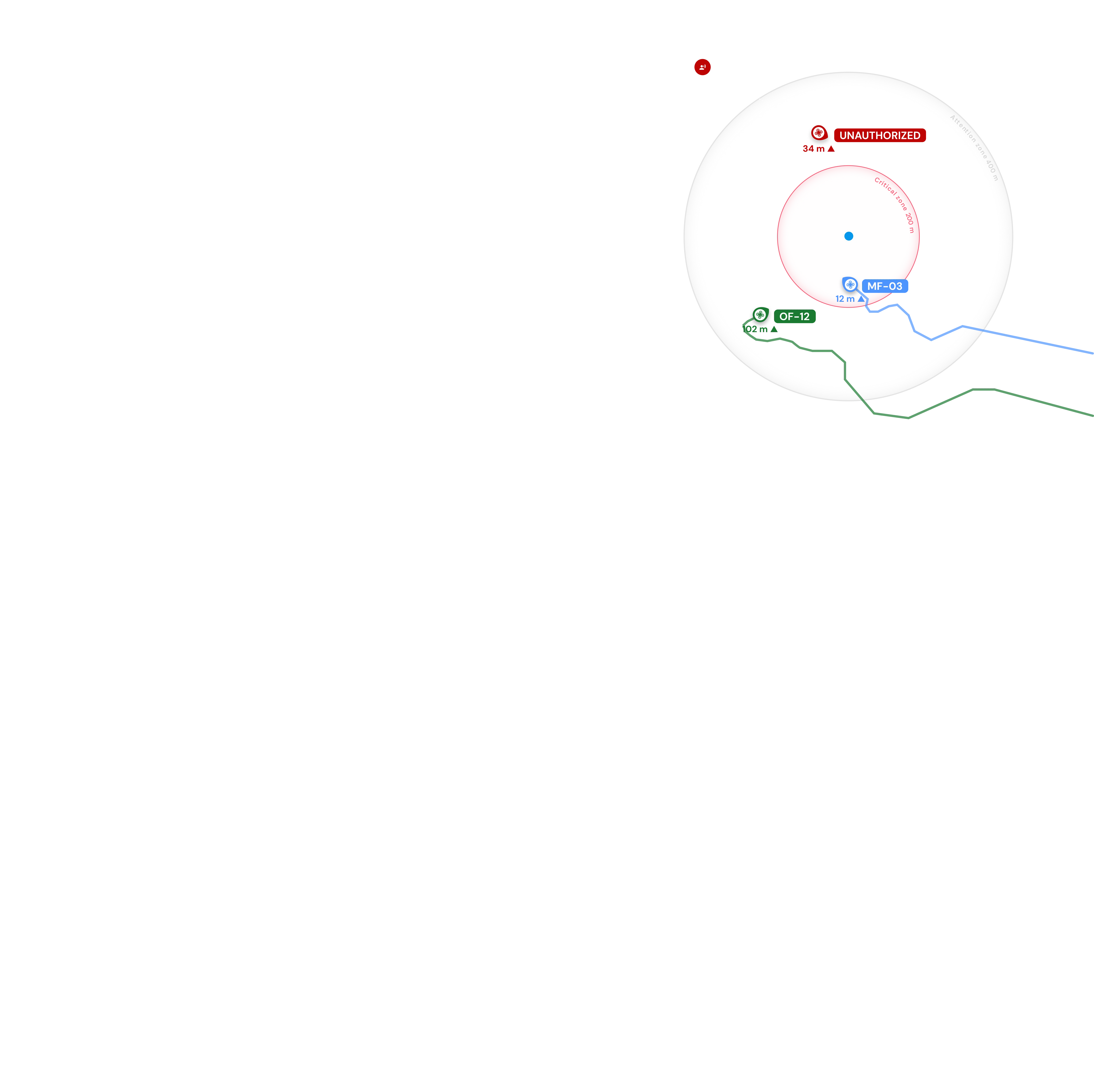
Manage all your devices, check airspace zones, plan flights, and inspect real-time flight data from a single, intuitive interface. Utilize features like custom alert zones, instant notifications and whitelisting to distinguish friend from foe.
Explore our platform
Drone & Pilot Detection
Real-time location, altitude, pilot location and detailed telemetry.
Whitelisting
Tag your drones and easily distinguish friendly assets from potential threats.
API for 3rd-Party Systems
Integrate our receivers with existing UTM and C-UAS systems.
For Developers
Integration
Learn how to integrate with your existing tools and systems.
API Access
REST & WebSocket endpoints for custom dashboards.
Toolbox App
Utility for advanced configuration and diagnostics.

Remote ID
‍Compatible

Remote ID turns drones into digitally visible aircraft - making it a universal, scalable tool for drone detection and situational awareness. Our implementation follows existing standards that define how Remote ID is broadcast and received. As Remote ID regulation rolls out gradually around the world, explore the countries where it’s already in effect to see where you can use our solution today.
EU
ASD-STAN EN 4709-002
USA
ASTM F3411-19
Japan
ASTM F3411-19
Singapore
ASD-STAN EN 4709-002
UK
ASD-STAN EN 4709-002

Looking for portable drone detection?

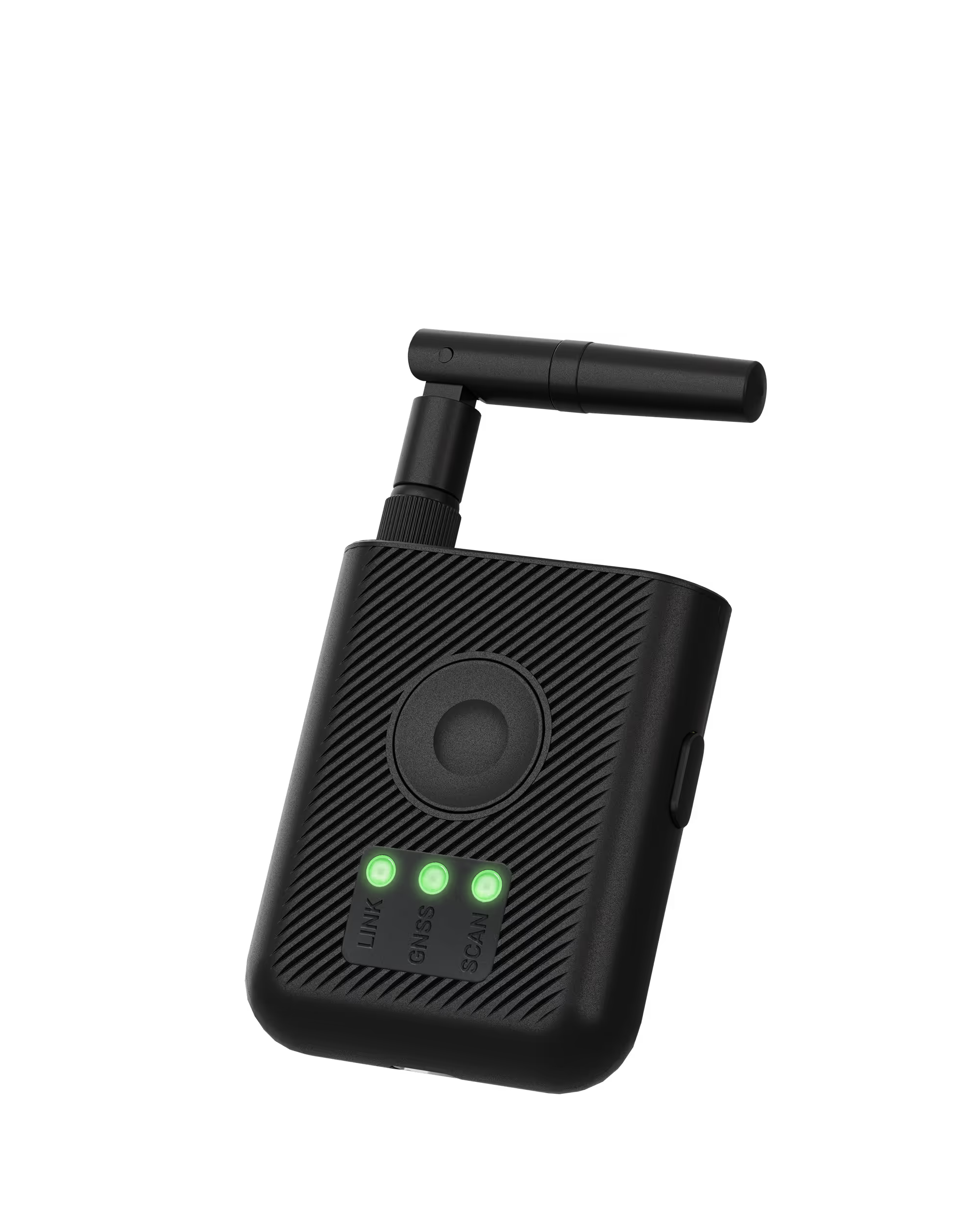
The Dronetag Scout is built for stationary, 24/7 perimeter protection. For field awareness, explore our portable receiver designed for public safety and security teams.
Meet our RIDER

Video Library

Dronetag Channel

Specifications

Documentation & Downloads
Dive into the full user guide or grab a product sheet.
Hardware and Design
Ingress & temperature
IP67 / NEMA-6,
−20 °C to +50 °C / (-4 to 122 °F) ambient
Dimensions
220 × 345 × 104 mm / (8.6 × 13.5 × 4 in) without antennas
Weight
2.2 kg (4.8 lbs) without antennas
Sensors
Sensors
GNSS for determining Scout location
Range
Up to 10 km (6 mi) omni,
up to 25 km (15 mi) directional
Connectivity
Supported standards
 ASTM F3411-22A and ASD-STAN EN 4709-002
Supported protocols
Bluetooth 4/5, Wi-Fi Beacon, Wi-Fi NaN, LTE included as standard
Supported frequencies
2.4 GHz and 5 GHz
on every antenna
Message latency
< 0.5 s
Antenna connectors
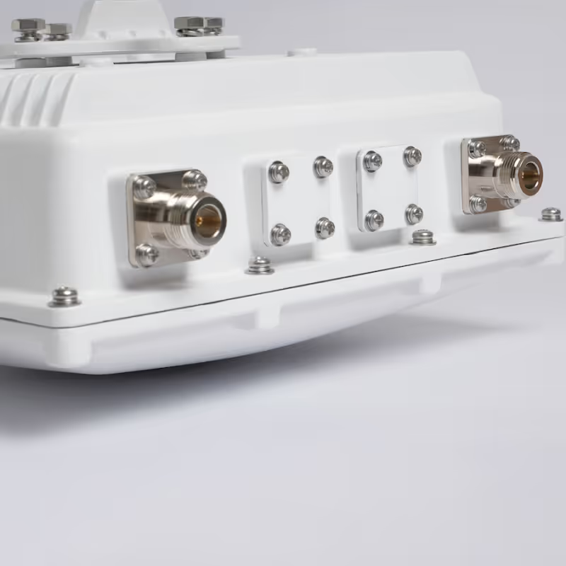
N-type, female
Antenna options
Dual-band omni, dual-band sector, dual-band aviation
Power
Power supply
PoE + 802.3 at, PoE 802.3 af compatible
Power Consumption
6 W typical (10 W max)

FAQ

What changed between Scout Gen 1 and Gen 2?

Gen 2 rebuilds the RF frontend so that every antenna receives on both 2.4 GHz and 5 GHz. In Gen 1 only the omnidirectional antenna was dual-band, and the sector antennas covered 2.4 GHz alone.


That single change drives most of the rest. 5 GHz reception now reaches out to directional range instead of staying close to the mast: a Skydio aircraft that Gen 1 received at about 1.6 km (1 mi) is received at 8 km (5 mi) on the sector antennas. It also frees the antenna position that previously had to carry 5 GHz, which is what makes Aviation High Performance possible — four sector antennas alongside a dual-band aviation antenna, a combination Gen 1 could not build.

Aviation is simpler as well. One dual-band antenna now covers ADS-B, ADS-L, UAT, FLARM, OGN and FANET, where Gen 1 needed a separate ADS-B variant with two antennas. LTE is included as standard in every configuration rather than sold as an upgrade, and the US version is FirstNet compatible.

Which drones are Scout compatible with?

Scout is “drone-agnostic,” so it detects any drone (e.g., DJI, Autel, Skydio) that is broadcasting a standard Broadcast / Direct Remote ID signal. It's important to remember that if a drone doesn't transmit Remote ID (like some drones under 250g or in non-regulated countries), Scout cannot detect it, as there is no signal to receive.

Do I need a license or subscription to use Scout?

That depends on how you want to use it. You have two options:

1. No license needed:

You can use Scout in Sensor Mode, which provides a raw data feed. This is ideal if you plan to integrate the data into your own existing security or C-UAS platform.

2. License required:

To use our complete, out-of-the-box solution (with maps, history, and alerts), you'll need a software license for either Cloud Mode or On-Premise Mode. We strongly recommend making this decision before you buy, as integrating raw data (Sensor Mode) requires your own development effort. In contrast, the licensed modes offer a complete, ready-to-use solution.

What are the different operating modes?

Scout is flexible. You can operate it in several ways:

1. Cloud Mode

This is the simplest, plug-and-play option. It connects to the internet, and you can monitor your airspace from anywhere using the Dronetag App.

2. On-Premise Mode

This mode is for high-security areas. All data and visualization stay on your local server, with no internet connection required.

3. Sensor Mode

This just provides the raw detection data for you to feed into your own C-UAS, UTM, or other custom security platform.

4. Sensor+ Mode

This builds on Sensor Mode by identifying each drone's model and manufacturer onboard via a live drone database, and adds a basic map interface, integrations into TAK, SAPIENT and others, automatic firmware and database updates, and remote troubleshooting support from our team. Sensor+ is currently in development and will arrive in a future firmware update.

Can Scout locate the drone pilot?

Yes. If the drone is broadcasting the pilot's location as part of its Remote ID signal, Scout will show you that position on the map. If the pilot's location isn't being sent, Scout will show you the drone's take-off point instead.

What is the detection range of Scout?

The detection speed is real-time. The range depends on your antenna setup. With the included omnidirectional antennas, you can expect a range of up to 10 km. If you use specialized directional antennas, you can focus the detection and significantly extend the range.

How is Scout powered and installed?

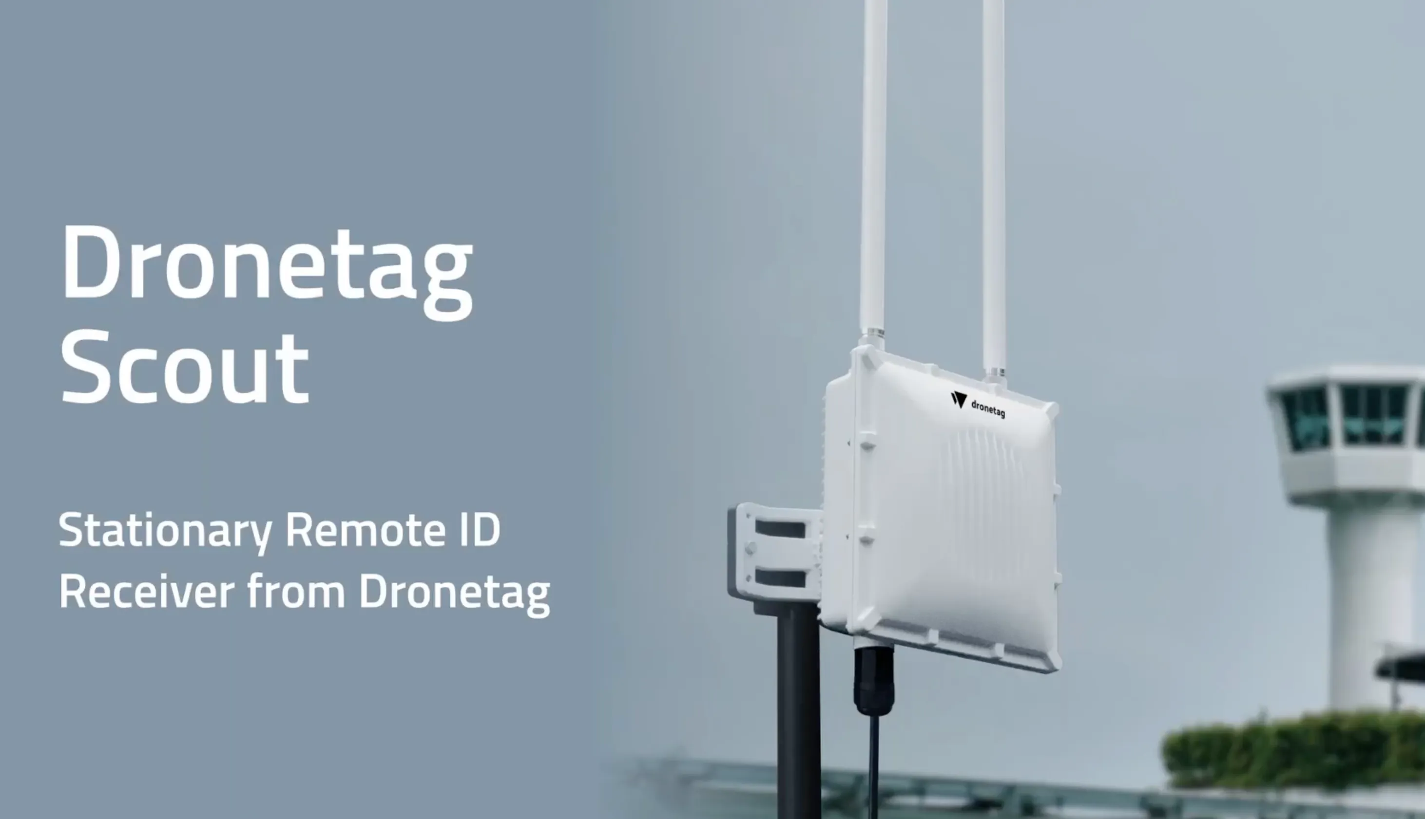
Scout is designed for fixed, 24/7 operation and is powered by a single Power over Ethernet (PoE) cable (a PoE supply is included). Installation is fast; typically less than 15 minutes. You just need to mount the device, plug in the PoE cable, and connect your antennas.

How durable is Scout for outdoor use?

It's fully weatherproof (IP-rated) for 24/7 outdoor use.

Can I integrate Scout data into my own systems?

Absolutely. Scout is built for integration. You can use Sensor Mode to get a raw data feed, or use our APIs in licensed modes to feed detection data directly into your existing C-UAS, UTM, or other third-party security platforms.

Will Scout work in my country?

Yes, Scout can be deployed anywhere in the world. It will detect any drone broadcasting a compliant Remote ID signal (per EU, US, or Japanese standards). Just keep in mind, if you are in a country where Remote ID is not yet mandatory, many drones may not be broadcasting a signal, so there would be nothing for Scout to detect.

Secure Your Airspace with Dronetag SCOUT

The ultimate long-range Remote ID receiver for precise, 24/7 drone tracking.
From €3,099 / $3,499
Buy now
Detect all Remote ID-equipped drones and their pilots
Enhance your
airspace awareness
Seamlessly integrate
with your security system

Take Off with Dronetag Now

Whatever your airspace needs, we’ll help you find the right setup from hardware to integration.